The soldiers from the Lebanese Armed Forces (LAF) watch intently as a small unit of UNIFIL Estonian peacekeepers demonstrates the systematic technique to scan for improvised explosive devices (IEDs) while on patrol.
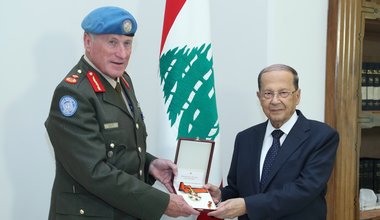
News

A UNIFIL Estonian peacekeeper demonstrates how to detect IEDs to LAF soldiers during a joint training.

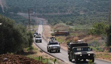
UNIFIL’s Spanish peacekeepers carry out a 36-hour patrol, together with the Lebanese Armed Forces, in south-east Lebanon | 14 June 2018 | UNIFIL Photo / Corporal Carlos Melgar

UNIFIL veterinary officer, Lt Col Bishnoi, with a UNIFIL language assistant, provide medicine and advice to a local shepherd near Shab’a.