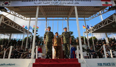
UNIFIL’s Korean Contingent got a new batch of peacekeepers this week, with the outgoing Commander Colonel Jin Chul Ho handing over the command of the Republic of Korea Battalion (ROKBATT) to Colonel Goo Seok Mo on Monday (27 August).
News
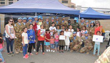
Group photo, Children and UNIFIL peacekeepers.
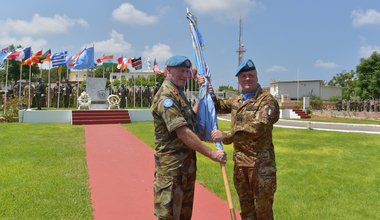
Outgoing Force Commander Major General Michael Beary hands over the UN flag to Major General Stefano Del Col.

UNIFIL Head of Mission and Force Commander, Major General Michael Beary, salutes the Lebanese Armed Forces guard of honour in Yarze, Beirut.


A UNIFIL Estonian peacekeeper demonstrates how to detect IEDs to LAF soldiers during a joint training.